Is the glass half empty or more than half full?
With the Red Line again moving further away from reality thanks to the envisioned Maryland budget crunch and the transit hostile new federal administration, the Highway to Nowhere grant not achieving a buildable solution that would qualify for round two funding (a submission was made anyway), the State Center dispute settled but no new development in the pipeline, the Port Covington (Baltimore Peninsula) development stalled at the initially completed stage, some of the bigger dreams for redevelopment seem to be unachievable. Baltimore detractors will take this list of the glass half empty as proof that the city is a basket case.
 |
| Insta-shot spot (all photos: Klaus Philipsen) |
There is the redevelopment of the Mayors childhood place of Park Heights that has reached some critical mass at its core, buoyed by the prospect of Pimlico's redevelopment; in east Baltimore the Perkins Home redevelopment is completed in its early parts; Westport is under construction for its first phase, the redevelopment of the former "murder mall" housing complex on North Avenue is also underway; the Johnston Square redevelopment is progressing nicely, the so called "Westside" of downtown continues to see construction on Park Avenue and also on Howards Street; the multi-year reservoir construction in Druid Hill Park is finally coming to some conclusion; development in Highlandtown and Greektown has gone gangbuster, and even the Uplands development has gingerly approached its next (but ugly looking) phase.
Under Armour's new headquarters is complete and parts of the redevelopment of the Insulator factory campus are already occupied. The Johns Hopkins university campus keeps getting re-built and the Morgan University is continuing its unprecedented building boom with several new academic buildings and expanded student housing. Baltimore's schools continued to get renovated under a multi-billion dollar construction program and the Mayor cut ribbons on new and re-opened rec centers across the city. The new Frederick Douglass Tunnel construction has started with some preliminaries and one has to hope that the funding for the full project is secure.
"A city in perpetual recovery"
These lists are not meant to be comprehensive or complete, they rather illuminate the state of Baltimore as a city "in perpetual recovery" (a term coined by journalist Dan Rodricks who keeps up the progressive torch in a increasingly dark Baltimore SUN).
 |
| Westport groundbreaking |
The state of Baltimore as a city that always seems right at the breakthrough but never quite gets to a place where things fall into place and a positive feedback loop gets underway. Instead, progress is still a heavy lift. That includes the many heroic efforts of finally breaking and tipping the endless loop of vacancies and abandoned row houses. Some of the measures put in place, such as the non contiguous TIFF, supposed to leverage funds for rehabilitation, are innovative but seem rather impractical.
But the comprehensive effort of finally ending the infinity of vacant houses dragging down entire neighborhoods could finally succeed; the split tax bill which passed, taxing vacant houses higher than occupied ones, is one of the promising steps. In spite of lots of new housing, a revamped inclusionary housing bill and hotels bought by the City to house homeless Baltimore's housing crisis continues.
Downtown
While much what happens in neighborhoods finally looks promising, downtown is in a downward spiral. The sale of a 28 story tower for a bit more than $2 million (at tenth of what it fetched 10 years ago) is just one indicator for the decline of downtown as an office
 |
| The Mayor speaking about a 10 year plan for downtown |
destination. Some blame the new class A office along the water in Port Covington, Harbor East and Harbor Point, but the truth is more complicated and is a malaise that has afflicted many cities across the US and even abroad, in part because of remote work and in part because modern office work requires much less space and will require even less once AI will replace many service jobs.
Nothing less than an entire re-invention of downtown is needed and it stands to reason that the downtown of the future will look a lot like the downtown of a distant past before mono-functional office towers in which mixed use was the norm. As for many ailments, Baltimore has a plan but desperately needs sound implementation strategies.
Beyond real estate
Baltimore as a city of arts took a blow when Baltimore's office of promotion and arts (BOPA) was defunded by the Mayor. Station North and the other arts districts (maybe except Highlandtown) are limping. Yet, art and music are still striving in many galleries and venues and the various festivals have taken place as well.
Baltimore's storied SUN paper is on a strange course after a take-over by the owners of Sinclair, with some continued investigative journalism combined with many just terrible opinion pieces and the uncritical inclusion of Fox45 pieces into the reporting. Yet, the online only Baltimore Banner continues to grow and shines with collaborative investigations with Baltimore's WYPR public radio station and the New York Times.
In spite of its image as a violent city, the murder rate is significantly down and the Mayor largely succeeded with his "squeegee kid" initiative. This kind of nuisance is much less widespread these days. The Mayor got re-elected and seems to have found his groove. Hopefully this will include stabilized departments which have seen too many heads depart, most recently at City DOT, a department that had made good strides in 2024 with a host of new highly qualified hires. Especially DPW seems to rain being a mess.
MTA (a State agency) was hit hard by Covid; its future operations and investments will be challenged by MDOT budget cuts; but a young and determined leadership team has been pushing hard to have more buses and trains run on time. The result is trending in the right direction but still unsatisfactory, especially for Light Rail and Metro. The new Metro cars will go in service this year and will hopefully bring this system back on its feet. Instead of a new Red Line we will see a "Raise Transit" improvement of the east-west Blue Line with additional bus lanes and stop improvements.
 |
| The Baltimore AIA Urban Design Committee organized a public conversation on HarborPlace |
HarborPlace
Readers of my blog know that I am not a big fan of the proposed tower redevelopment for the Inner Harbor. After the referendum passed 2025 will show if MCB has the wherewithal and capital to get the proposed $490 million development off the ground. One of the litmus tests will be the fate of the proposed $400 million public-space improvements that MCB sees as a condition for their development. Meanwhile this past holiday season saw a pretty lively Inner Harbor with about 60% of the lease areas of pavilions with some level of activity, the German Christmas Village and the ice skating rink and the undiminished attraction of the partly refurbished Rash Field and the Aquarium with its new floating wetlands.
2025
The larger "blue" East Coast cities all better buckle up for a rough year with strong headwinds from Washington. Headwinds are also in store for "Liberal" universities and HBCUs, all important pillars of Baltimore's standing in the world.
Baltimore may actually be most affected due to its proximity and dependence on the large federal workforce. Governor Moore's fondness for Baltimore ("it's Baltimore's time") and willingness to direct State funds here will continue to help, but can't make up for federal losses, nor do promises necessarily mean action (We will have to see about the Red Line). Even the Port will see headwinds thanks to the envisioned tariffs and likely reduced imports and exports. A good time to remember our manufacturing history and position the city for the planned renaissance of US manufacturing.
Klaus Philipsen, FAIA
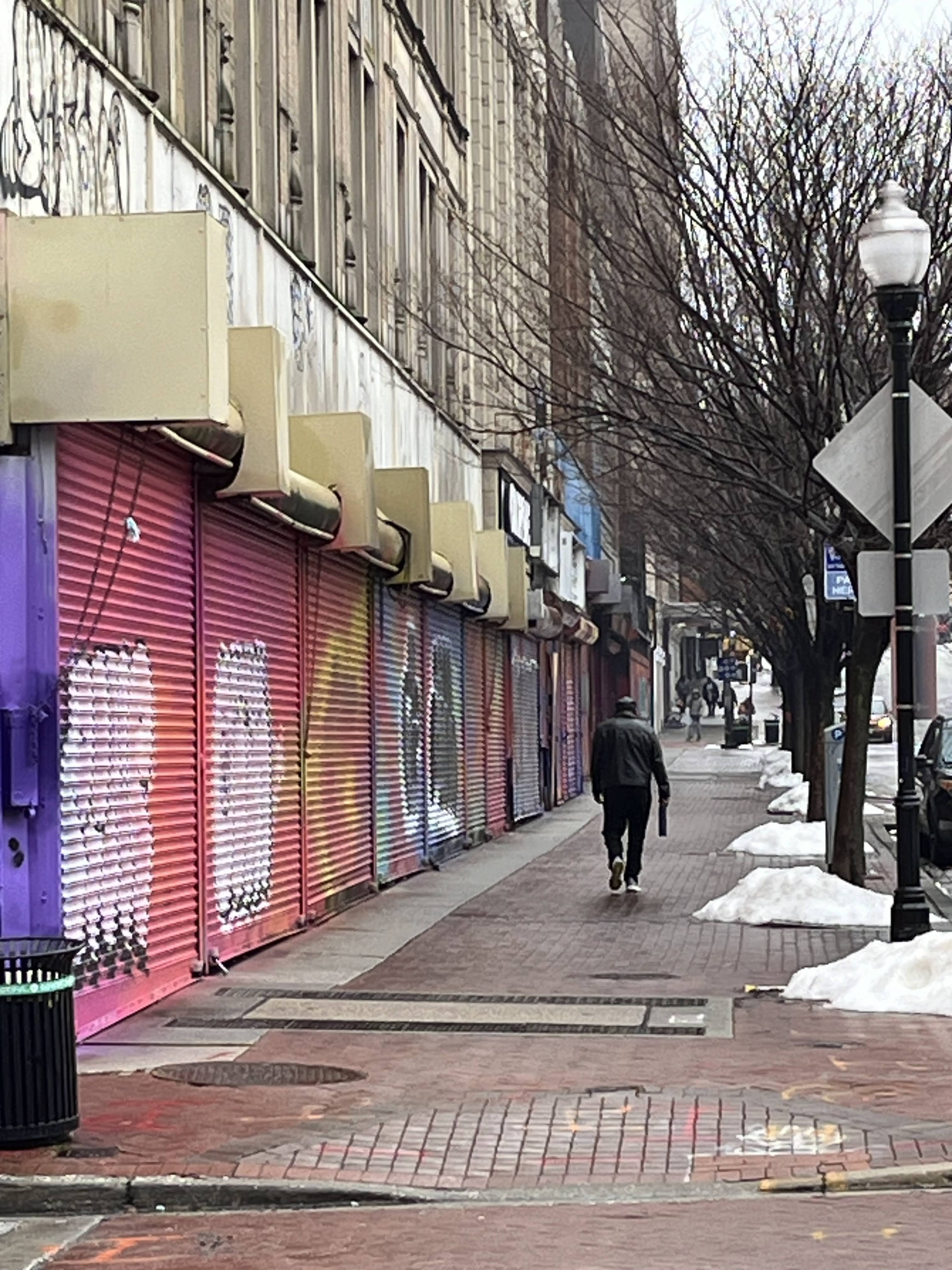
Below a bunch of pictures I took throughout the year that show a Baltimore on the move, full of aspiration and also in need of even more investment.
See also Ed Gunts 2024 summary in the Fishbowl with more detailed information about many projects